Took a hike last Thursday to Snag Lake. We drove to Sutton Pass and then took the logging road to the right and drove to a crossroads just before a bridge that takes you to a First Nations power station.
The plan was to hike the road to the end and then go a couple of hundred meters along the Witness Trail, built during the War in the Woods. At the end there is a view of the lake. It turned out we could have driven about half of the 8 km distance all the way to a very old and decrepit bridge. The road is 2WD and gravel with minor washouts. Your vehicle might get scratched a little too.
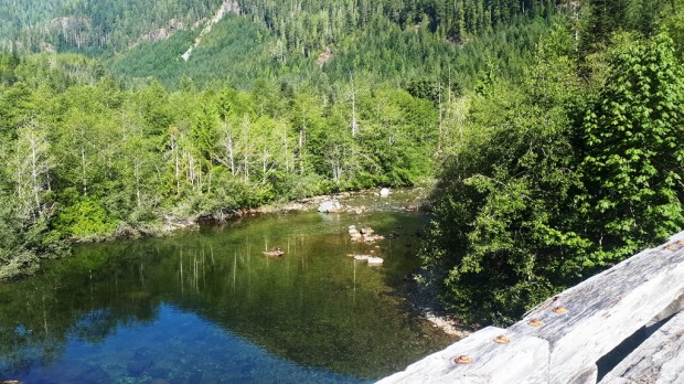
Decrepit bridge over Kennedy River
Shortly before the bridge there is a good campsite. It would handy base camp for those considering an overnight visit.
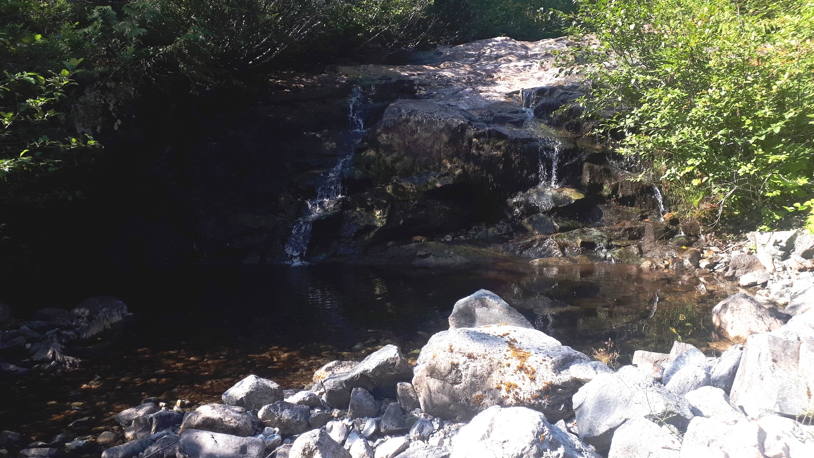
After the bridge, the trail is pretty brushed in. It’s going to need brushing next year. But you can still follow the trail if you pay attention.
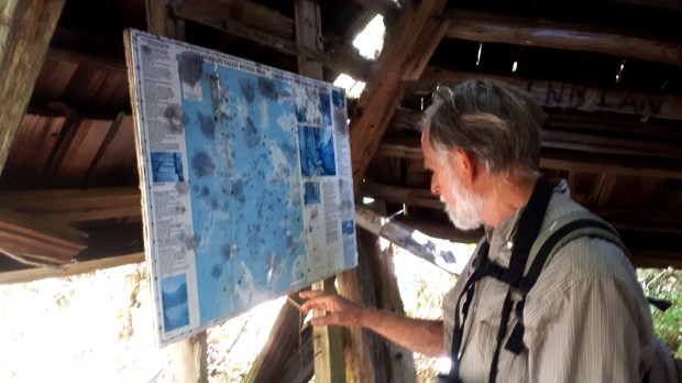
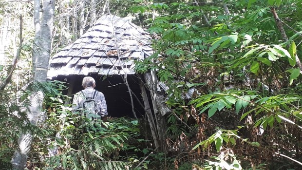
At the end of the road is a decrepit kiosk with the posts slightly askew. Inside is a grungy old map of the Witness Trail.
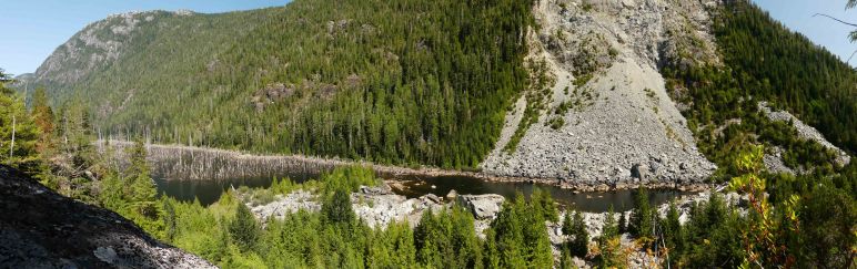
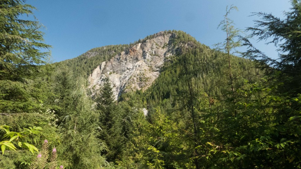
From there the trail gets rough. You leave the road behind and climb along a faint trail through brush, braken and young trees. Fortunately there is only 200 meters of this before you come out at the top of a bluff with a cliff below it…and a great view of the slide that blocked the Kennedy River and created Snag Lake. It was a great place for lunch and photography before trudging back along the road.
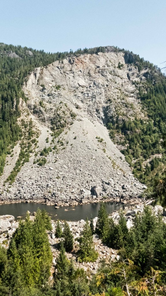
The top is a vertical cliff. The “cone” consists of finer material at the top and coarse boulders the size of cabins at the bottom.
