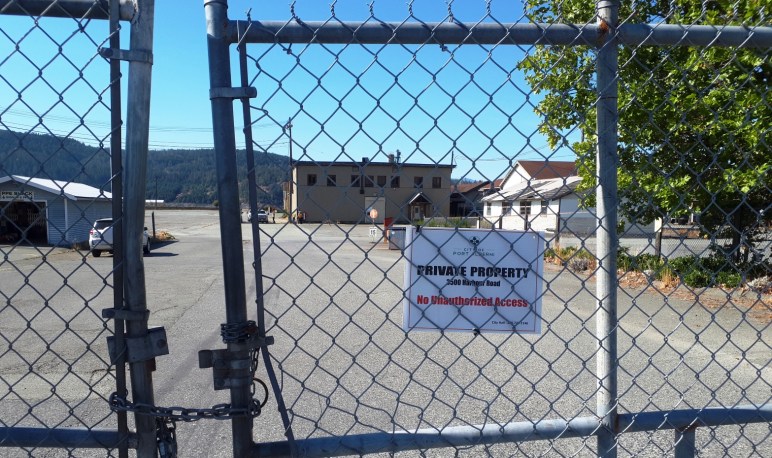
What I know about the Somass Mill site

What I know about the Somass Mill isn’t enough. But I have misgivings. I am talking about the five properties totalling 43 acres the City of Port Alberni bought for $5.3 million. The intention was to sell off most of the properties keeping part of it as public waterfront access and Park. The rest would be a mix of retail on the ground floor with living areas above.
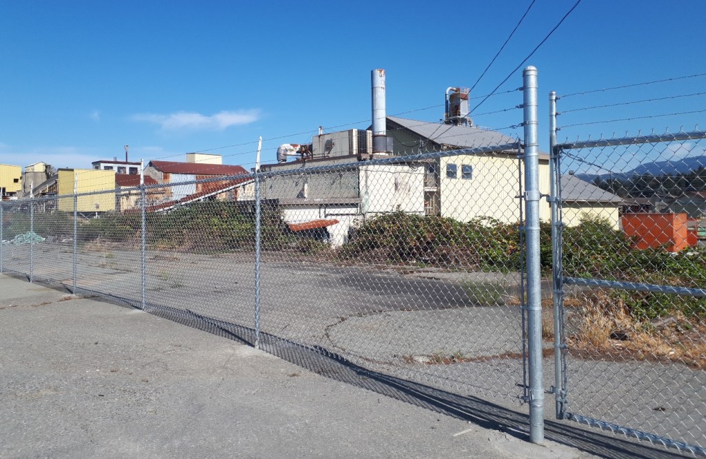
Part of the deal is that no primary sawmilling can be done there for 5 years. I know first hand, that the San Group is interested in this property. So I wonder if the popular rumor, that the San Group wants to build a pellet plant qualifies?
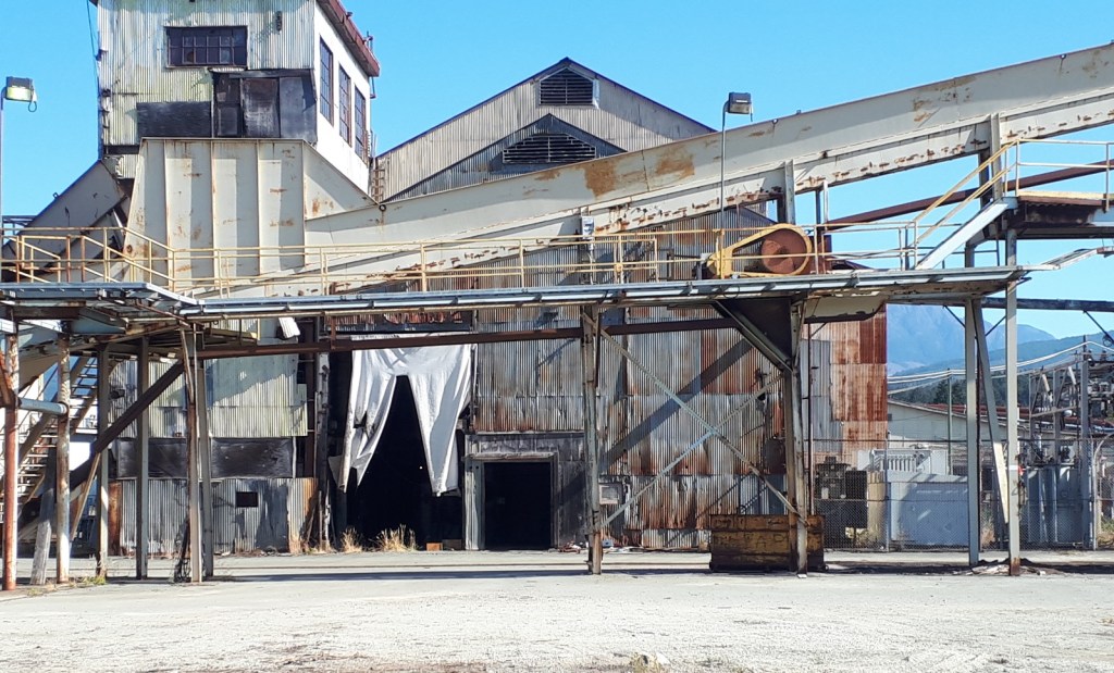
Recently, I went on a walkabout there with Chris Alemany and others. He is advocating restoration of the Dry Creek estuary. That is a third option. Several mayoral candidates, a CHEK TV crew, two former senior employees from the mill, and citizens were there. The third option is to recreate the Dry Creek estuary that this site is built on.

What I learned is that the city hired a contractor to conduct Phase 2 technical contamination assessments on the site (See the link for a better idea of what that is.). As part of a due diligence investigation, the City conducted this assessment before the decision to purchase the mill was made.

Jim Rutherford was the Environmental Co-Ordinator of the Somass Mill site for many years before retiring. He learned about the purchase at the same time as the rest of us back in August of last year. Because he felt that he was likely the only staff person from the old mill able to discuss this issue with city staff, he asked for a meeting with Tim Pley and others. At that meeting, he was shown where the assessment samples were taken and showed them the location of key contaminated areas that were not discovered by the consultants. However the purchase had been completed at that time.

Three choices have been described so far: the San Group’s pellet mill, the mixed use of storefront with apartments and/or condos above and a walkway on the waterfront, or complete restoration of the Dry Creek estuary. All of them hinge on what lies beneath and what it will take to remediate the site.
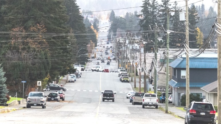
The 10th Avenue Crossing

Here’s an issue that never seems to go away.

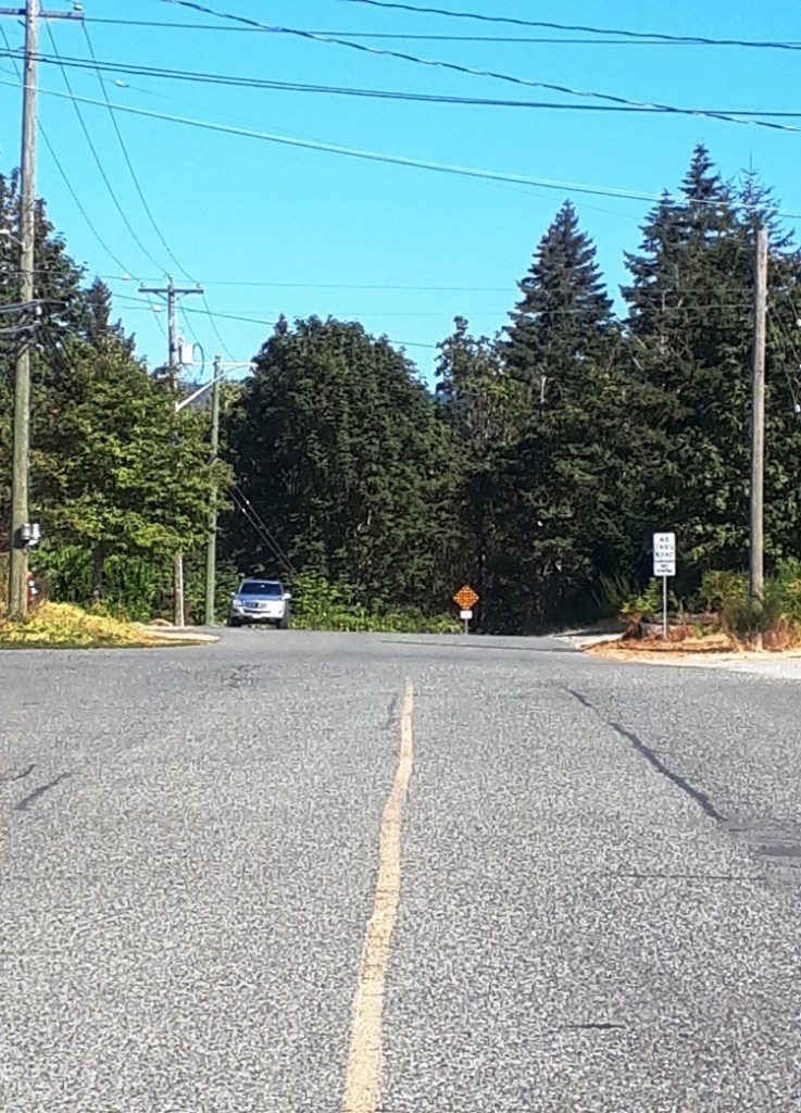
For those who are new to town, the north end of 10th Avenue dead ends at the top of the ravine, or canyon of Roger Creek. One of the reasons there is a traffic bottleneck on Gertrude is because a bridge across the Roger Creek Canyon has never been built. It would take a lot of congestion away from Gertrude Street. And access to the Pacific Rim Shopping Centre, Walmart, and Canadian Tire from South Port would be much faster. It seems like a no brainer.

And a fellow called to say just that, this afternoon. “Why hasn’t it been built?”, he asked.

Well it’s easy to say, there’s no money or political will. But that isn’t a very satisfactory answer. There’s more to it.

First, it would be a very big bridge. From the top of the canyon on one side, to the top of the canyon on the other side is around 250m. It is a longer crossing than the Highway 4 bridge across the Sproat River. So that’s a lot of money to invest. There is no way the City of Port Alberni could pay for it without help from more senior levels of government. That may be more likely now as we have an MLA, Josie Osborne, who is a Minister in the BC Government.

But there are other things to consider, Roger Creek itself. It is a salmon-bearing stream. In former times Coho runs were abundant in it. They are still there but much reduced in number despite numerous efforts to enhance the run. Construction of a very large bridge over a creek with a fragile salmon run could easily make the run even more fragile. It any landslide happened during construction it would end up in the creek immediately. It would also be very difficult to prevent silt and erosion from entering the creek during construction.

And now there’s the fact that The Scott Kenny Trail lies beneath any proposed orientation of the bridge. Construction would creak significant overhead hazards, forcing that part of the trail to close for however long the construction took.

Finally there is the issue of all those people in the neighbourhood at the north end of Tenth would be very unhappy to see their homes, homes that they may have bought because of the wooded ravine out their back door, become a major thoroughfare. I happen to know people who live at each end of the proposed crossing. Nobody likes to be told that it is for the greater good. So we sit…

Next entry Friday– Housing

Beyond the trees is Roger Creek Canyon