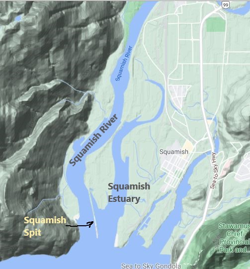
A couple of weeks ago I was watching Global News at Six. A story about the future of the Squamish Spit came on. As I watched, I realised that they had exactly the same issue that we have here in our estuary with respect to Chinook salmon smolts.
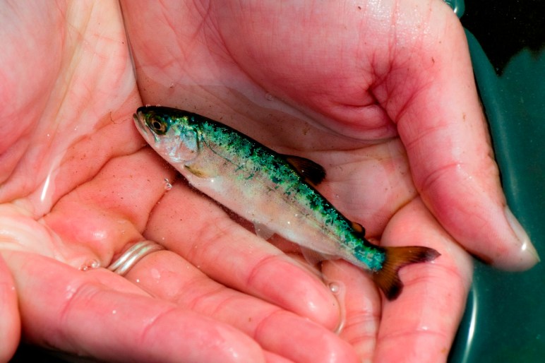
In their case, a long narrow berm of fill was built out onto the mudflat of the Squamish River many years ago. It was to serve as part of a coal port that never materialized. The trouble with it is that this “Squamish Spit” separates the river that salmon smolts descend, from the estuary the estuary where they adapt to salt water. For salmon, especially Chinook Salmon, estuaries are critical habitats. Chinook Salmon more dependent on the estuaries than any other salmon species .
Conservationists have long recognised the situation and have called for the berm to be removed. But they are opposed by the Squamish Windsports society who regard their access to the winds of Howe Sound as “Canada’s Premier Kite-boarding Location. It looks like the windsports society is not going to win this one and that the spit will be breached to allow the smolts access to the rest of the estuary.
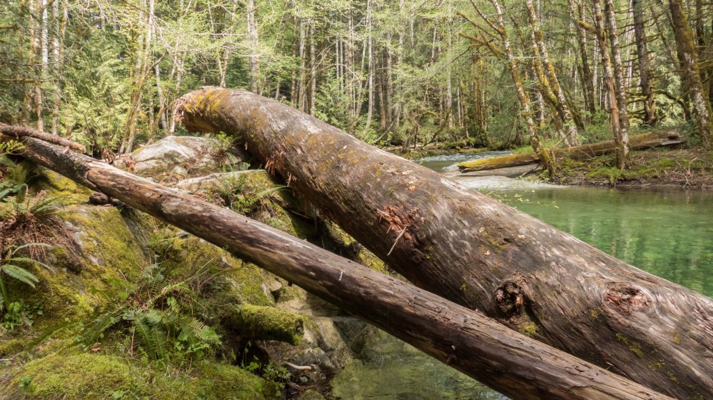
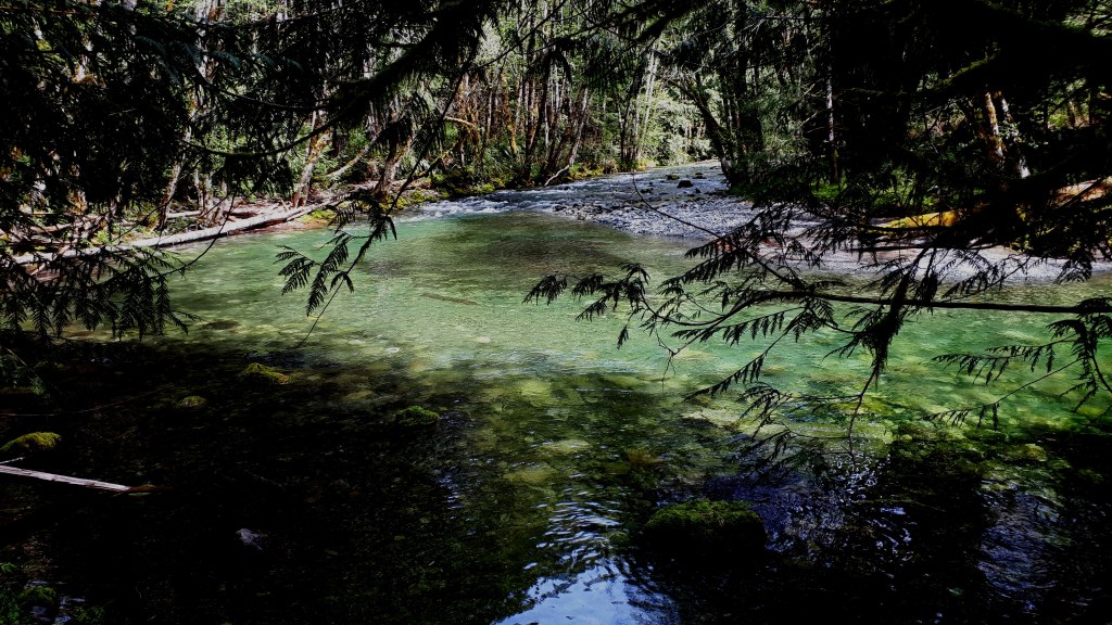
It you substitute a couple of lagoons for the spit, you have the same situation right here in Port Alberni. All the Chinook Salmon smolts have to travel out into the inlet, around our wastewater lagoons and Johnstone Island.
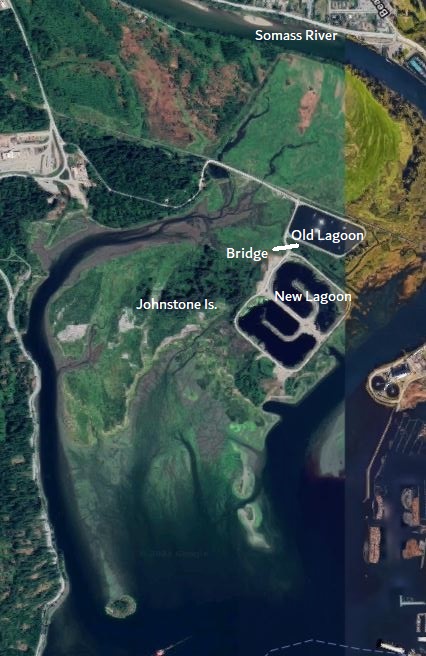
The Alberni Valley Enhancement Association was able to secure funds to conduct a study of juvenile Chinook use of the estuary and confirmed a similar situation exists here at the mouth of the Somass River.
From the report: “Much of the estuary’s eastern shoreline (river-side) has been hardened through industrial, commercial and residential development, and much of the western estuary (i.e., Phil’s Bench area) has been cut-off from direct river connectivity by historic diking and channel-filling practices. Salmon fry and smolts attempting to rear in central and western reaches of the estuary must now migrate around the south end of Johnstone Island (which is no longer an island), and move passively or actively back on-shore in order to find suitable habitats. Given their relatively small size and limited swimming ability, it is problematic whether a majority of naturally-spawned Chinook fry can successfully complete this journey each spring.
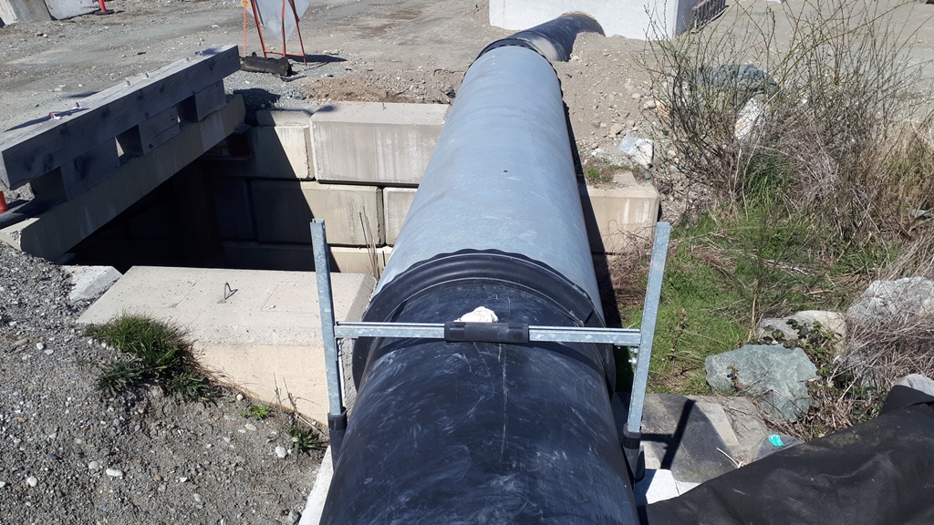
So the AVEA recognised this situation and secured funds to replace a part of the access road between the ponds with a small bridge. However, it was recognised that the wastewater effluent from the old pond, that currently empties into the river would then also flow into the lagoon and ruin the water quality. So a dam was built as a temporary solution until the new wastewater plant was completed. The new plant discharges underwater 800m out into the harbour.
I mentioned that the bridge is a small one. Indeed it is. It is only 4 or 5 m across. The other two bridges over flood channels to the are almost twice as big.
Unfortunately the design of the new lagoon didn’t include a longer bridge, or another bridge. There is room to build one, but the opportunity to do so has likely been foreclosed. There is some hope that some of the money set aside for the decommissioning the old lagoon could be used to ensure that water flows freely under the bridge.
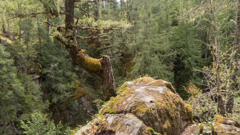
It is too bad that, unlike Squamish, this community doesn’t yet appreciate the importance of restoring the only part of the Somass Estuary that is relatively intact. It is only a third of its original size. No wonder the Chinook stocks are struggling.
What is the future of the Squamish Spit
Squamish Windsports Society proposes municipal park at Spit launch site
Somass River Estuary ‒ Juvenile Chinook Salmon Habitat Use Pilot Study ‒ Year 2 (Spring 2014)