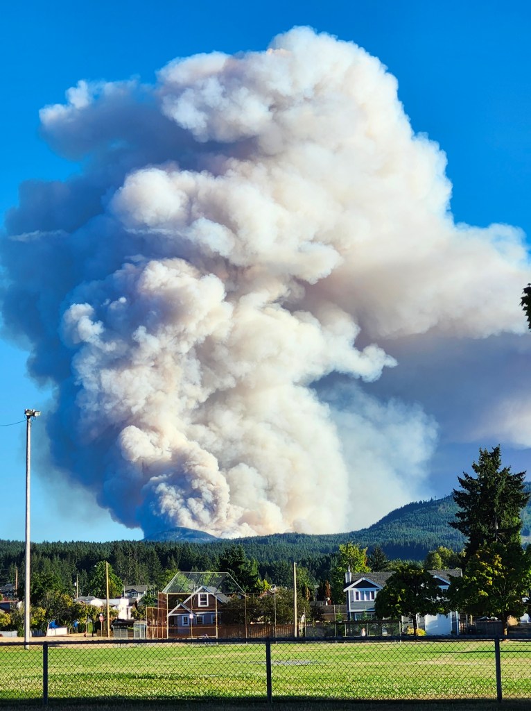
We were lucky. The usual summer winds blow up the Alberni Inlet from the south and west, especially in the afternoon. On August 11th they were blowing from the north, and for the next two days they blew from the North. That fluke of the weather saved Port Alberni.
We are still in a precarious position with respect to fire entering the city. There are many houses immediately adjacent to the tall 80 to 90-year-old forest on the South and East edges of the city. A large portion of the land adjacent to the homes is owned by the city, and beyond that land, there is another strip of Crown land before the Mosaic property is reached. I think there is a huge liability should a fire encroach on these homes. The City has a responsibility to be seen to take appropriate steps to reduce the chance of a wildfire. Unfortunately this may mean cutting some of the forest around the city limits.
This may not sit well with people in Port Alberni. But on the other hand there must be a certain amount of anxiety to those living on the south and east edges of the city. So I wonder what plans the city, and the Regional District has or is contemplating to do something to lower the chance of a wildfire encroaching on the city.
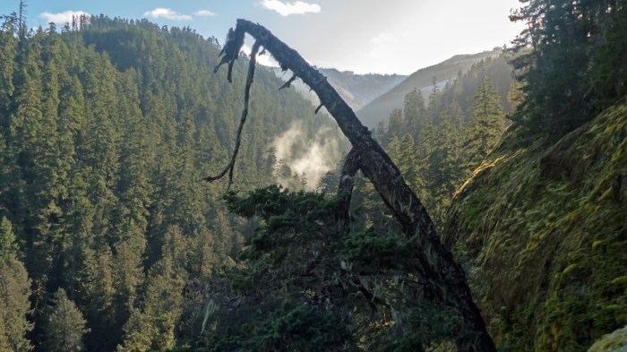
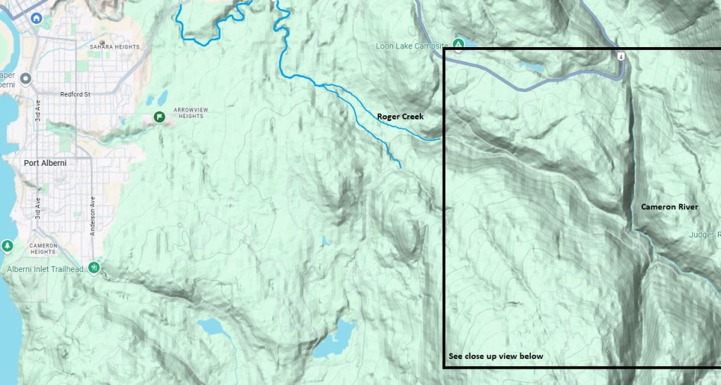
Roger Creek flows through Port Alberni into the mouth of the Somass River. It is fairly unremarkable near tidewater. But 600 meters upstream, it runs through the bottom of a canyon that that has been carved through a big slab of shale bedrock before it hits tidewater. The top is about 25 meters above the creek and the cliffs are near vertical. The canyon is about 10 km long and big enough to make me wonder where all the water came from to make such a large canyon. The upper reaches of the creek flow down from the shoulders of McLaughlin Ridge, a high plateau that forms the western slopes of the Cameron River. There is no sign of the water needed.
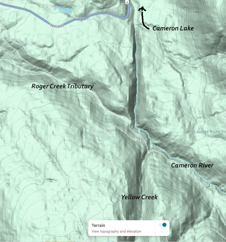
Google Maps offers a possible answer – the Cameron River. A small ephemeral tributary of Roger Creek flows from a location near the top bank of a large ravine through which the Cameron River flows. But the bottom of the ravine and the Cameron River, is 60 meters below. Confused? See the maps below.
A geologic fault line must have ruptured ages ago and either pushed up the land on the west side of the Cameron River, or dropped the land on the other side down about 60 meters. The shape of the slopes on each side of the fault are about the same. I believe this would account for the size of the Roger Creek Canyon.
On a final note, I wonder if the fact that the Hupacasath First Nation claims the Cameron River as part of their traditional territory is a result of a story about the event that changed the course of these toe streams.
A recent public engagement effort on the Log Train Trail left me thinking about decisions the ACRD has made regarding Off Road Vehicles (ORVs) on the Log Train Trail.
The ACRD Board has adopted a Management Plan that says that traffic by ORVs is around 50%, more than by all other uses combined. I’m not at all surprized. These vehicles and their reputation have figuratively driven many hikers off this trail. And now you’ll see even fewer of them. Hikers, cyclists, and horseback riders are incompatible with ORVs. They were saying that 40 years ago in my forest recreation class at university! Yet hear we are!
Some of the ACRD’s portion of the trail must remain ORV-free. That wasn’t an option in the consultant’s management plan. Did the Board have the imagination to consider this?
To me, the ACRD has dragged its feet right from the start, through the whole process of creating the Log Train Trail and maintaining it. It hasn’t abided with the agreement with the Ministry of Transportation that restricted its use to Active Transportation. Enforcement of this requirement has been negligible. Have any of the complaints been resolved by penalty?… Any? Or have they all quietly disappeared? So how can the board reps and staff speak of it as a done deal? “It just has to get by the Ministry of Transport.” We’ll see about that!
I mentioned that the reason there is so much use of the Log Train Trail by ORVs is because pedestrians are reluctant to use it. With this decision, it is completely unmanaged until a committee is struck, meets, and makes a strategy for transiting to the plan. So, do what you like folks! There are no restrictions! And they won’t enforce any that do come into play.
It really irked me to be told at the meeting that the City should have no say on the committee to implement the recommendations when they have two seats on the board.
You know, the irony of all this is that the Management Plan commissioned by the ACRD was funded by the Canada Active Transportation Fund. What is “Active Transportation”? Active transportation is using your own power to get from one place to another. This fund is set up to promote Green Transportation! Just the opposite is the result of the plan!
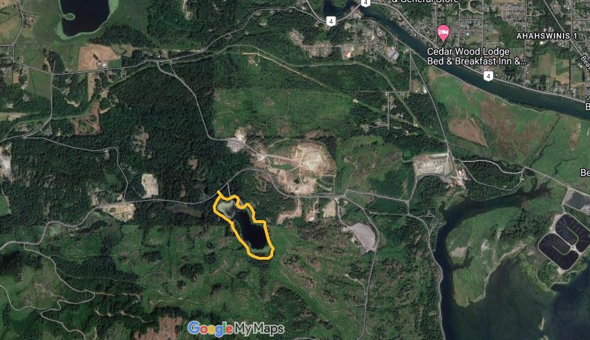
Devil’s Den lake is an obscure little lake you can easily hike around in an hour or so unless you really dawdle. It’s nestled at the foot of a range of big hills that form the south boundary of Sproat Lake. It is a 15 minute drive from Port Alberni. It’s perfect for a light afternoon excursion with the family.
The trail around it was built around a year ago by someone who put a great deal of work into it clearing brush and building decent bridges. No grant money went into this. The person or people who did it have done an excellent job out of the goodness of his heart. It is a beautiful lake and a beautiful hike. But, this was clearly done without any official sanction from the land owners. There are many such trails around the valley.
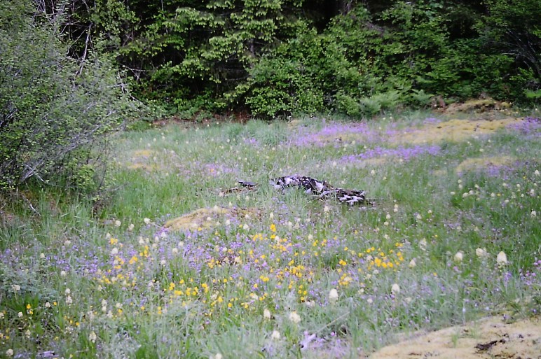
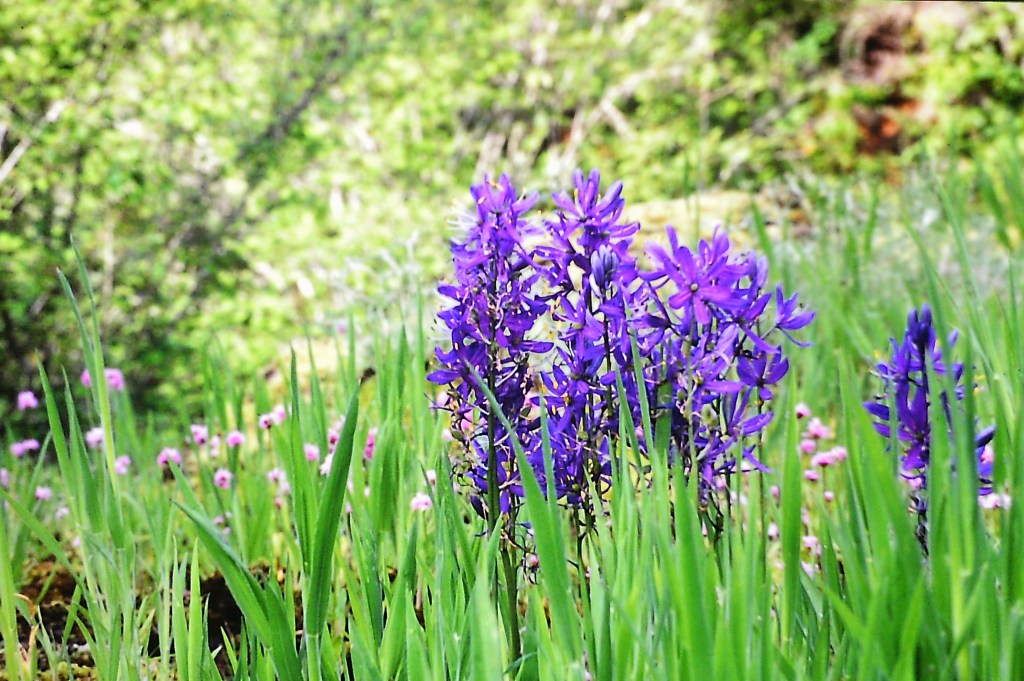
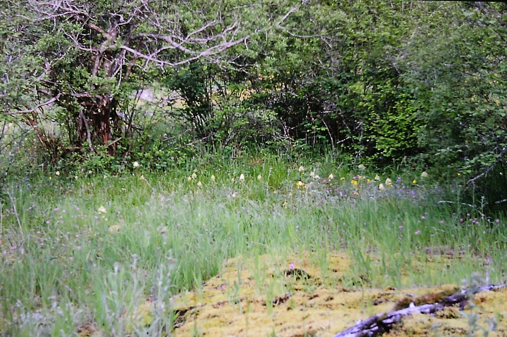
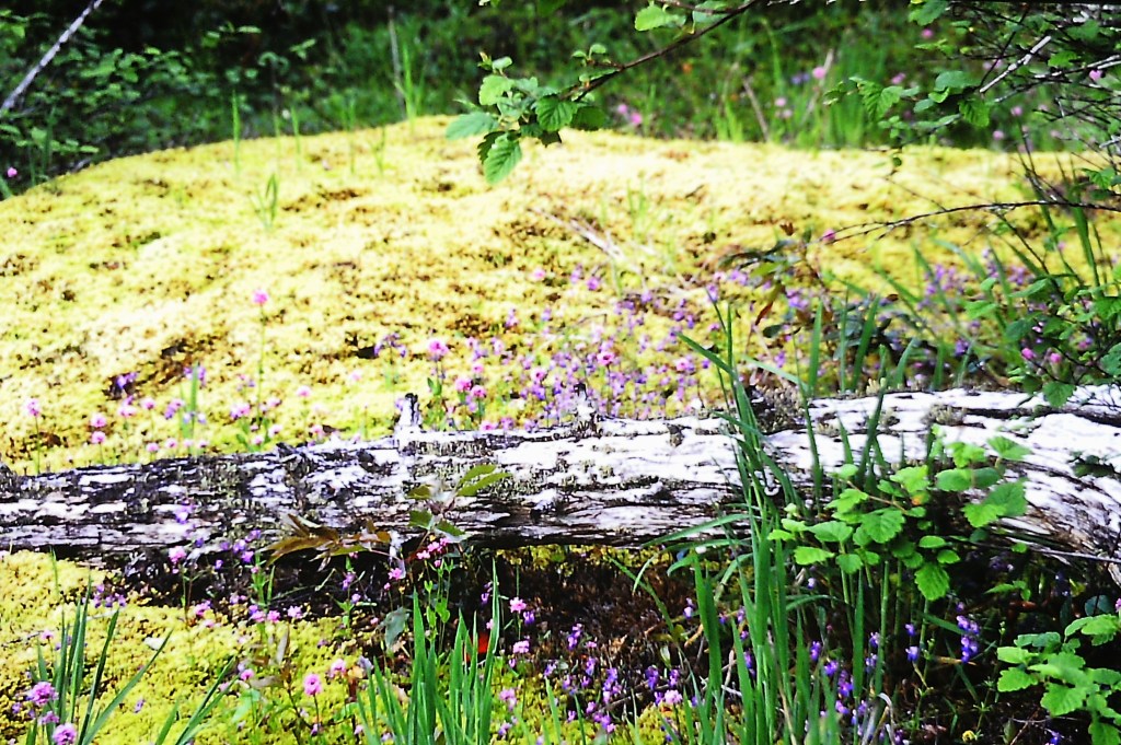
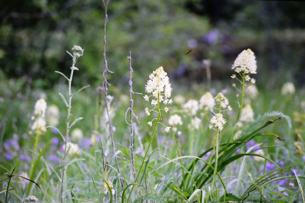
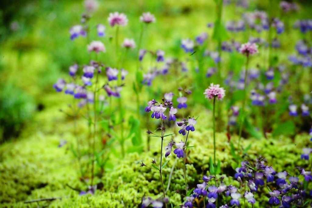
I have known about this lake for many years. I first used to take a very rough trail to the closest part of the lake, carved out by fishermen. There was a side trail that crossed (forded) the creek that drained the lake below the beaver dam. that held the lake at its current level. Then it went up to a rocky bluff that is covered in wildflowers in early May and provided a beautiful view of the lake and the mountainside beyond.
The Bluffs in1993
Bluffs in 1993
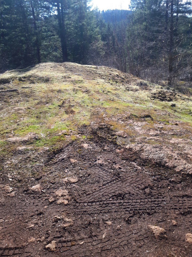
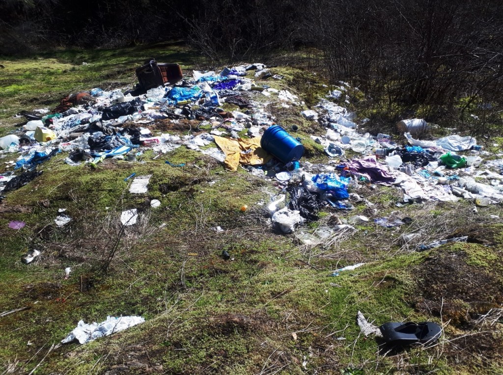
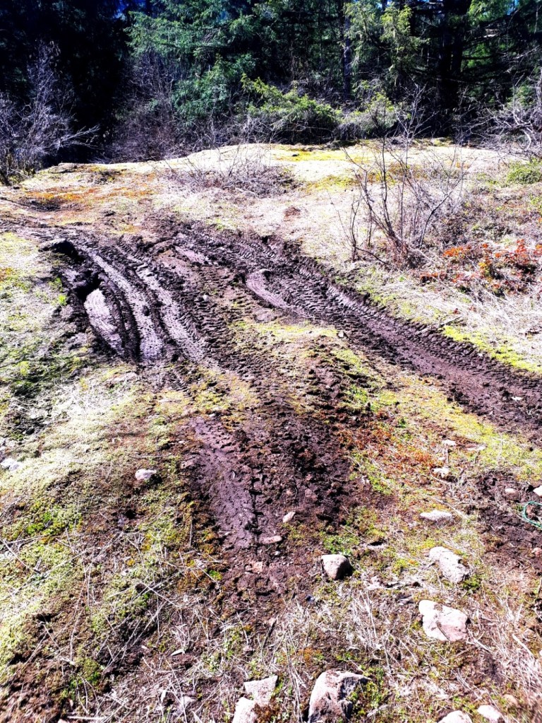
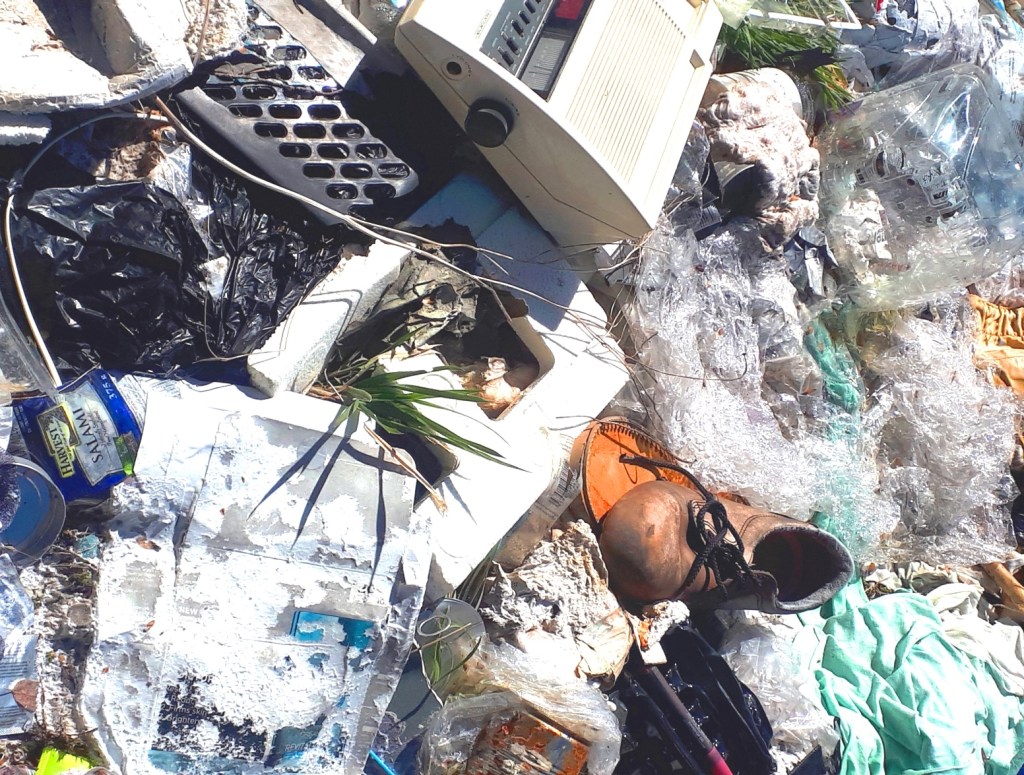
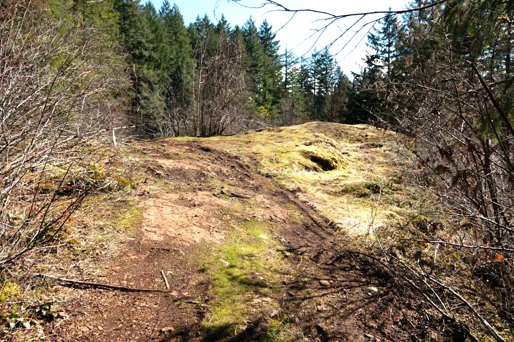
Later, I learned about another bluff just meters away through a brushy dip. the flowers there were even more spectacular. There you could find a bigger variety of them. Sadly, the fauna of both of these bluffs and others and others in the area are all being destroyed by Quad.s, or ATVs for the sake of joyriding. Not only that, they are being used to dump trash. The area has been used as a dump for quite a number of years. And it should stop.
The area around the lake falls within a large block of Crown Land and also includes two creeks and 4 ponds, as well as the lake. But this property also includes a 4X4Racing track, and a private gravel pit, and part of the local land fill. The road through the property
These bluffs have been driven over many, many times by ATVs, have had trash illegally dumped on them, and brought wrecked sofas on them to sit on and enjoy the view . Most of these bluffs may be irredeemably destroyed by now. I would like to see these vehicles banned and the trails they have made blocked.
I’m actually going to make an election promise! I promise that if I am elected to city council, I will fight tooth and nail, scratching and clawing to get better signs at the trailheads around town by the end of my term. I want the trail maps to have North at the top, to have the roads visible and not just the road names, maps that aren’t so faded you can’t read them anyway. They’ve been like that for at least 4 years. It’s just embarrassing.
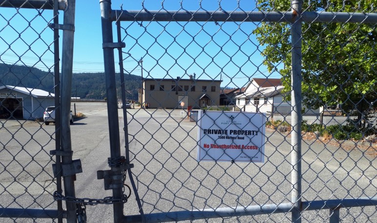
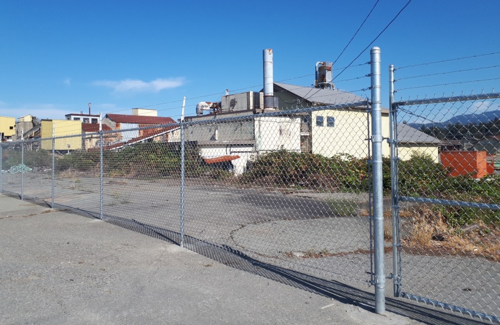
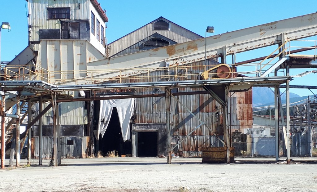
What I know about the Somass Mill isn’t enough. But I have misgivings. I am talking about the five properties totalling 43 acres the City of Port Alberni bought for $5.3 million. The intention was to sell off most of the properties keeping part of it as public waterfront access and Park. The rest would be a mix of retail on the ground floor with living areas above.
Part of the deal is that no primary sawmilling can be done there for 5 years. I know first hand, that the San Group is interested in this property. So I wonder if the popular rumor, that the San Group wants to build a pellet plant qualifies?
Recently, I went on a walkabout there with Chris Alemany and others. He is advocating restoration of the Dry Creek estuary. That is a third option. Several mayoral candidates, a CHEK TV crew, two former senior employees from the mill, and citizens were there. The third option is to recreate the Dry Creek estuary that this site is built on.
What I learned is that the city hired a contractor to conduct Phase 2 technical contamination assessments on the site (See the link for a better idea of what that is.). As part of a due diligence investigation, the City conducted this assessment before the decision to purchase the mill was made.
Jim Rutherford was the Environmental Co-Ordinator of the Somass Mill site for many years before retiring. He learned about the purchase at the same time as the rest of us back in August of last year. Because he felt that he was likely the only staff person from the old mill able to discuss this issue with city staff, he asked for a meeting with Tim Pley and others. At that meeting, he was shown where the assessment samples were taken and showed them the location of key contaminated areas that were not discovered by the consultants. However the purchase had been completed at that time.
Three choices have been described so far: the San Group’s pellet mill, the mixed use of storefront with apartments and/or condos above and a walkway on the waterfront, or complete restoration of the Dry Creek estuary. All of them hinge on what lies beneath and what it will take to remediate the site.
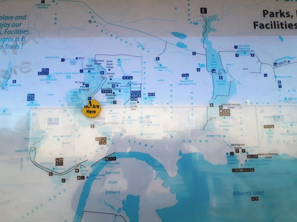
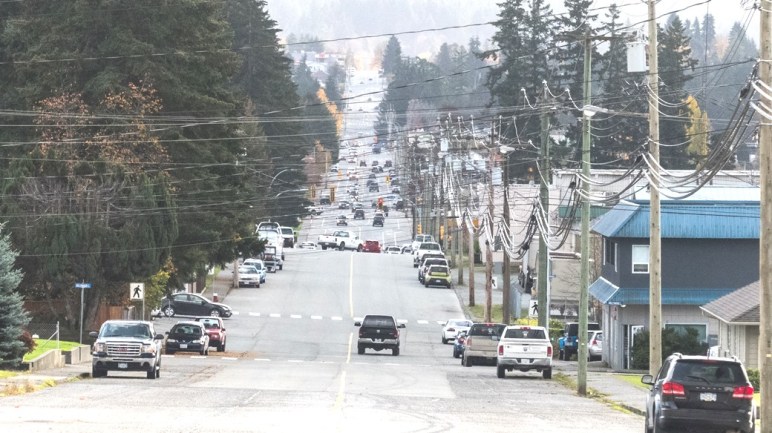
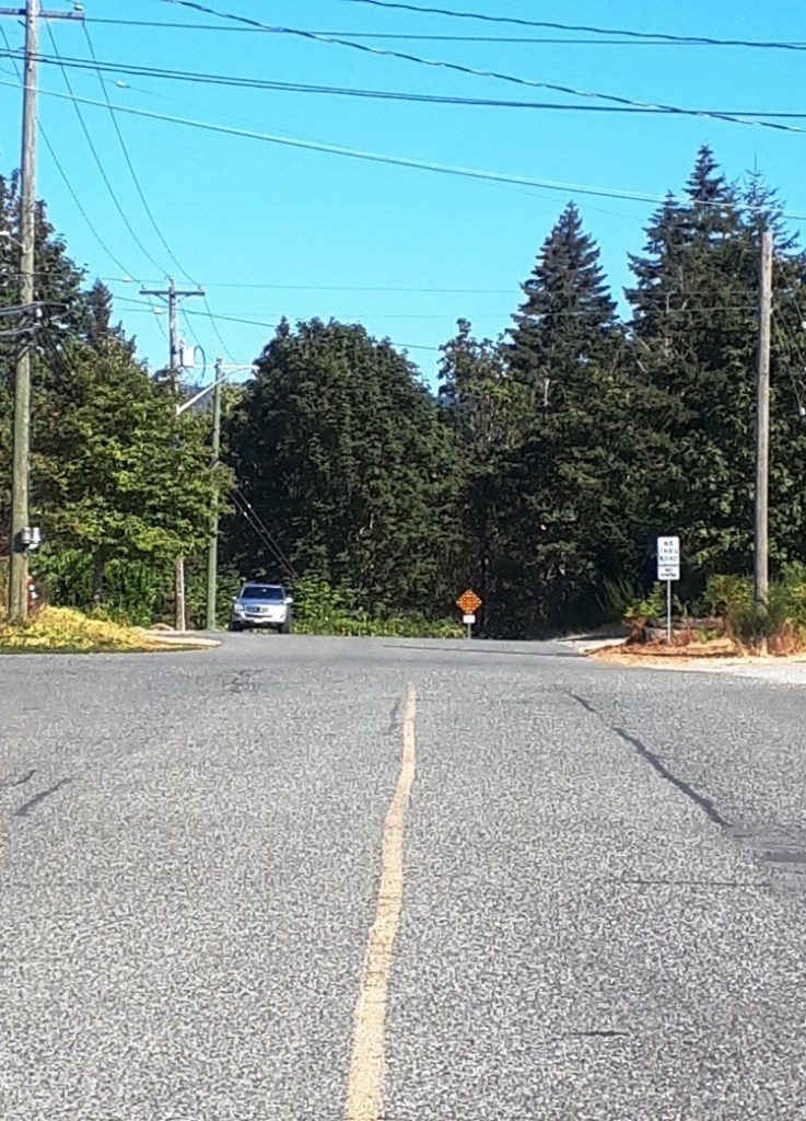
For those who are new to town, the north end of 10th Avenue dead ends at the top of the ravine, or canyon of Roger Creek. One of the reasons there is a traffic bottleneck on Gertrude is because a bridge across the Roger Creek Canyon has never been built. It would take a lot of congestion away from Gertrude Street. And access to the Pacific Rim Shopping Centre, Walmart, and Canadian Tire from South Port would be much faster. It seems like a no brainer.
And a fellow called to say just that, this afternoon. “Why hasn’t it been built?”, he asked.
Well it’s easy to say, there’s no money or political will. But that isn’t a very satisfactory answer. There’s more to it.
First, it would be a very big bridge. From the top of the canyon on one side, to the top of the canyon on the other side is around 250m. It is a longer crossing than the Highway 4 bridge across the Sproat River. So that’s a lot of money to invest. There is no way the City of Port Alberni could pay for it without help from more senior levels of government. That may be more likely now as we have an MLA, Josie Osborne, who is a Minister in the BC Government.
But there are other things to consider, Roger Creek itself. It is a salmon-bearing stream. In former times Coho runs were abundant in it. They are still there but much reduced in number despite numerous efforts to enhance the run. Construction of a very large bridge over a creek with a fragile salmon run could easily make the run even more fragile. It any landslide happened during construction it would end up in the creek immediately. It would also be very difficult to prevent silt and erosion from entering the creek during construction.
And now there’s the fact that The Scott Kenny Trail lies beneath any proposed orientation of the bridge. Construction would creak significant overhead hazards, forcing that part of the trail to close for however long the construction took.
Finally there is the issue of all those people in the neighbourhood at the north end of Tenth would be very unhappy to see their homes, homes that they may have bought because of the wooded ravine out their back door, become a major thoroughfare. I happen to know people who live at each end of the proposed crossing. Nobody likes to be told that it is for the greater good. So we sit…
The Alberni Valley has never been a great place to see sandpipers (called shorebirds among birders). They generally like beaches and rocky coastlines. We see Killdeers, Spotted Sandpipers and Snipe here, the Killdeers and on farmer’s fields, Spotted Sandpipers along gravel bars of rivers and lakeshores and the Snipe in wet areas of fields.
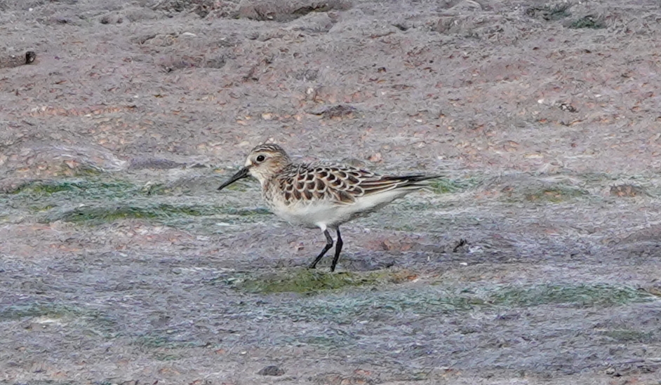
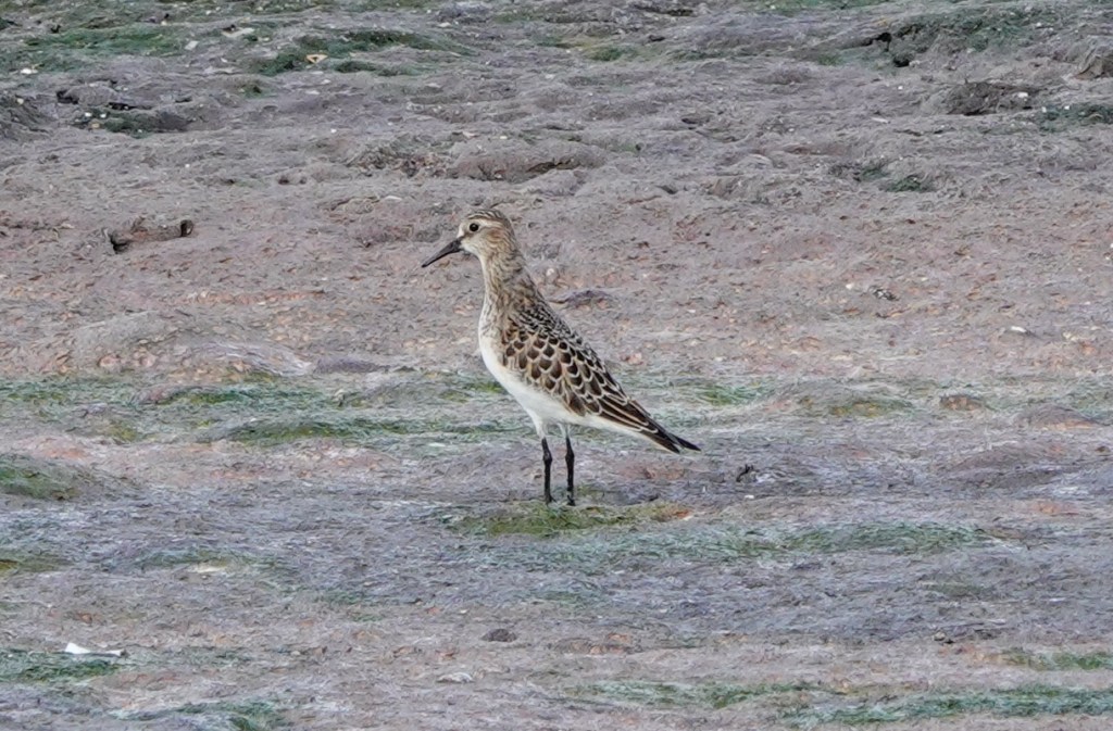
Baird’s sandpiperSame bird, different pose
But there is little habitat for the majority of the 20 sandpiper species that regularly pass through. The little habitat that exists is at what’s left of the estuary of the Somass River. And it is pretty inaccessible. For one thing, it is on the other side of the river. You need to drive through the Tseshaht Reserve along the Shoemaker Bay Road till you come to the road into the wastewater treatment ponds, on the left. It’s gated. So you need to walk in from there. That’s a 2.5 km walk along a semi-private road, before you get to the mudflats and gravel islands. And then it has to be low tide.
Or you could hop in a kayak, paddleboard or small boat to get there.
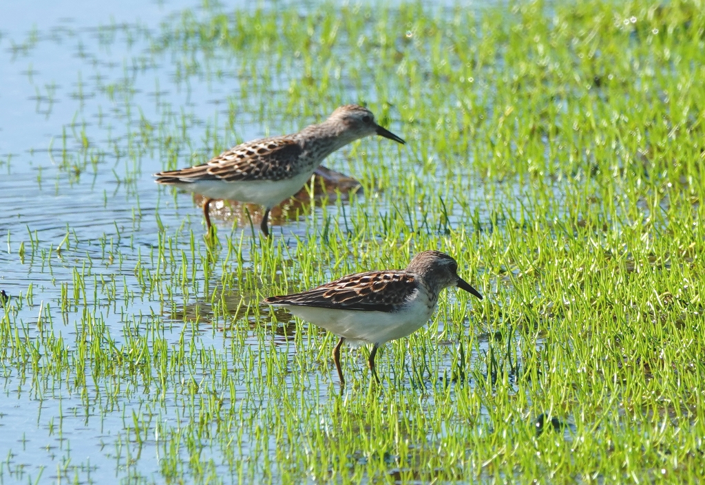
Pair of Least Sandpipers. They are the world’s smallest sandpiper.
This year however, you don’t need to go as far. The City of Port Alberni is near the end of a long construction project to update and improve the water quality of the sewage effluent into the end of the inlet. To do this, it bought the old, unused mill effluent lagoon and converted it to handle human waste. The old lagoon has been “dewatered” leaving a large puddle in the middle surrounded by sludge. It is a wonderful imitation of a mud flat. And it is attracting a nice variety of sandpipers. The walk in is almost half as long.
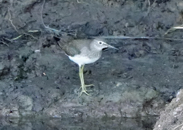
Young Solitary Sandpiper: Uncommon, you don’t see these in flocks, white spectacles and long yellowish legs.
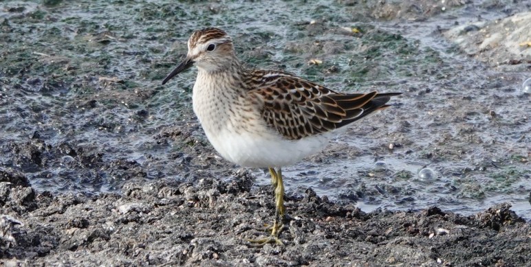
Last year 4 shorebird species were seen at the estuary in August. In contrast, this year 11 species have been recorded, including Baird’s Sandpiper, Pectoral Sandpiper, both Greater and Lesser Yellowlegs, and a Red-necked Phalarope.
Shorebirds are notoriously hard to identify. But digital cameras have made things much easier. One can now take dozens of pictures with exceptionally high performing zoom optics combined with so many features like auto focus, auto camera settings, that good pictures are pretty much guaranteed. So this has helped match the field marks that web pages tell us to look for, to the photo you’ve taken.
But I digress. It’s a good year to see shorebirds at the Somass Estuary!
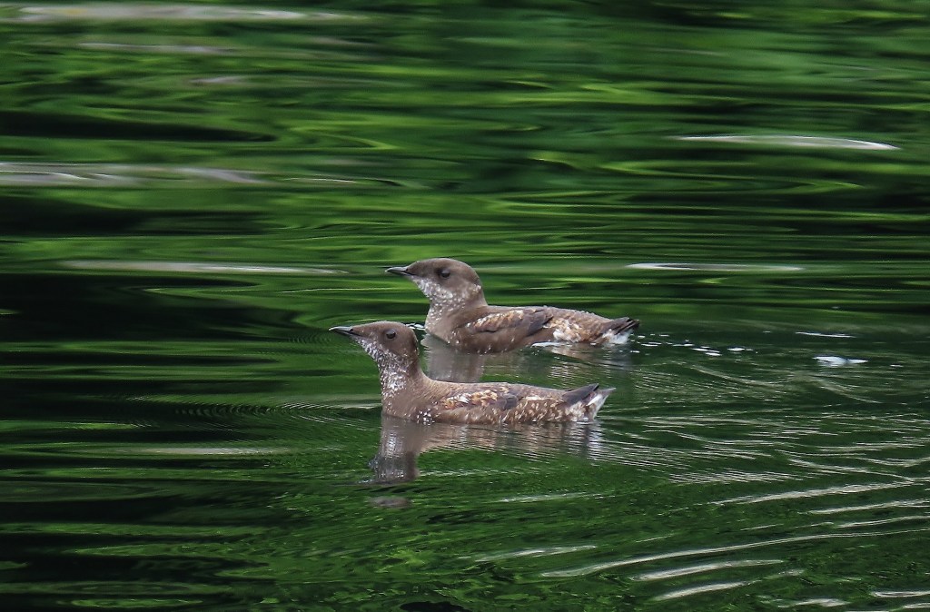
In the birding community, that means Marbled Murrelet. We use the first two letters of each word in the name… ,it’s a long story.
You may have heard of them if you have been on the West Coast for a few years. They’ve been in the news. They are one of the very few animals that require Old Forest to survive. It’s mandatory, obligatory.
Why, you might ask? Therein lies quite a story. You see Murrelets, are a kind of seabird related to puffins and auks. They spend most of their lives on water, not in trees. And they’re not exactly aerial acrobats either. Just to get airborne, they beat their wings as hard as they can, then they paddle their legs and skip across the water, sometimes plunging through a higher wave, before they get into the air. Once in the air you’ll see their shape is like a little, stout, robin-sized football. So they don’t turn easily.
The next thing to know about MAMUs, is that they nest in trees in old forest. For a long time biologists couldn’t figure out where they nested. As a rule, this family of birds nests on rocky islets and cliffs, places like that. So that’s where they searched. Until, in 1976, a tree surgeon who was cutting dead branches high in a huge old Douglas Fir in a State Campground in California. He came nose to beak with a downy young bird. Having no idea what it was, he took it to a Park Naturalist, who identified it. This was the first nest of a Marbled Murrelet ever accepted by the scientific community. Later it was realized that there were several earlier finds in British Columbia, the earliest of which was in 1955, in some old field notes discovered less than 10 years ago (Earliest Well-Described Tree Nest of the Marbled Murrelet: Elk Creek, British Columbia, 1955).
The California nest had been on thick bed of moss on a big gnarly old branch near the top of the tree. There was no actual nest, just the moss. That’s what it needs to raise its young.
So let’s go back and think about how these birds fly. They aren’t very agile in the air. So flying through forest can be tricky. The nests must be near the tops of the trees for the birds to access them. Steep slopes and trees that emerge from the general canopy are favoured. After hatching, the parents go back and forth from the ocean at dawn and dusk, feeding them fish, until they are ready to fly. And when they do fly, they get one chance to get it right. Essentially they just push off the branch and fall until their madly flapping wings catch the air. Their very first flight has to take them as much as 15 km to the ocean.
To conserve the populations of Marbled Murrelets on Vancouver Island the Provincial Government established Wildlife Reserves of old growth. There are only a couple of them around Sproat Lake. It’s not surprising since not much old growth is left there. But there are eight in the Nahmint Valley and a couple more in the Cous Creek Valley. Unfortunately Mosaic Forestry Management has no plans for setting any wildlife reserves aside.
Opinions differ as to whether what has been set aside is sufficient to ensure to viability of Marbled Murrelets in the future. Remember, old forests don’t last for ever. It just seems like it
Over the last 10 years, millions of dollars have spent up and down the east coast of Vancouver Island on salmon enhancement, and on habitat restoration. And the spending continues.
The starting 20 years ago, Campbell River estuary has been extensively restored. When I lived there, it was an industrial site with three mills on it. There was mud and concrete everywhere. Large amounts of fill had been brought in to support heavy machinery logs and buildings . Very little was left as suitable habitat for fish. That has all been restored.
Restoration of the Campbell River Estuary
Further down island large amounts of money has been spent on restoring ecological functions to the mouth of Courtenay River. Almost 4 hectares of pavement are being pulled up, a shoreline wall is being removed, waterways are being established and native plants are being reintroduced.
Restoring the mouth of the Courtenay River
Even further down island, the Englishman River has been heavily restored as well. Here, there is a similar story of fill removal, re-establishment of old drainage channels and the purchase of property.
There is much more activity between these drainages being done to “soften” the shoreline and to reduce the impact of invasive Canada Geese on the intertidal zone.
However, very little has been done to restore what’s been done to the Somass Estuary over the same time period. And that’s a shame. The Somass River is arguably the most important salmon river on Vancouver Island.
Bob Cole, who has been around the fishing scene in the community and served on many “fishy” panels and boards over the years, says that thanks to the Robertson Creek Fish Hatchery, the Somass produces more Chinook than any other river on the Island. It also produces far more Sockeye than any other river on the Island, without any help from a hatchery. In fact, only the Fraser River produces more Sockeye in BC. One year it even produced more than that river, Cole says.
One can speculate about why opportunities to do this haven’t materialized. some of it could be that priority has been going to projects in the Georgia Basin. However, this valley experiences many of the same pressures from development that the basin does. We do lack the extensive beach habitat. But we have invasive species, diked creeks, old log sorts, sewage lagoons, creeks diverted, temperature issues in the rivers, dropping populations, and more. In times gone by some work was done to improve the situation by the Alberni Valley Enhancement Association.
Two small “sedge benches” were constructed, one in Shoemaker Bay and the other a couple of hundred meters down the inlet along the Log watering road. Then Ducks Unlimited with several partners bought the area ,that was originally called the J.V. Clyne Bird Sanctuary, in 1991 from Weyerhaeuser. It includes a hay meadow a marsh north of the pipeline, a fringe of old growth next to the river, and Johnston Island. At that time a dike was built along the east boundary to prevent tide water from flooding the poplar plantation next door. this was a condition of the sale. The dike was planted with native vegetation a few years later. The access road has had two culverts replaced with bridges and a larger culvert added in another place. Lastly another bridge was added to provide smolts access to the best habitat in the estuary
Two other projects are looming on the horizon. One is the restoration of the old City sewage lagoon that will be decommissioned when the new wastewater treatment plan is brought into service. Almost $200,000 has been set aside for that. And the other, is more of an idea rather than a real project
The other one is, so far, just an idea. Former councillor, Chris Alemany is gathering support for rewilding the Dry Creek estuary, former location of the Tseshaht village before contact.
But there is still plenty to do at the Somass Estuary. Way back in 2003 the Alberni Valley Enhancement Society along with 14 other organizations from business government and conservation organization hired a consultant to write a report called the Somass Estuary Management Plan. It details many projects that could be carried out. Only a fraction of them have been acted on.