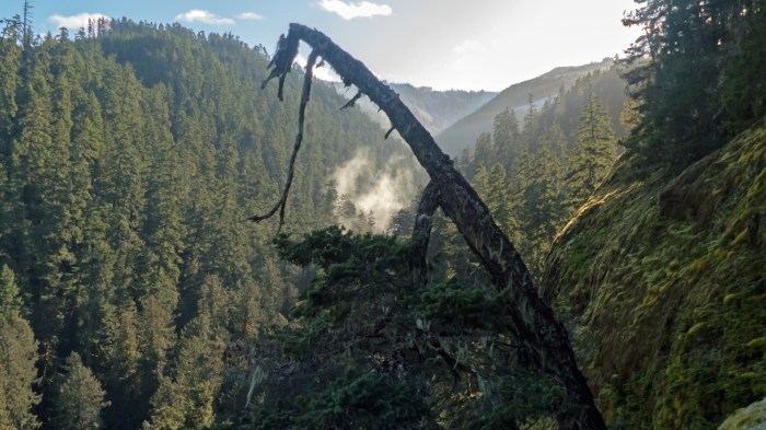
Roger Creek flows through Port Alberni into the mouth of the Somass River. It is fairly unremarkable near tidewater. But 600 meters upstream, it runs through the bottom of a canyon that that has been carved through a big slab of shale bedrock before it hits tidewater. The top is about 25 meters above the creek and the cliffs are near vertical. The canyon is about 10 km long and big enough to make me wonder where all the water came from to make such a large canyon. The upper reaches of the creek flow down from the shoulders of McLaughlin Ridge, a high plateau that forms the western slopes of the Cameron River. There is no sign of the water needed.
Google Maps offers a possible answer – the Cameron River. A small ephemeral tributary of Roger Creek flows from a location near the top bank of a large ravine through which the Cameron River flows. But the bottom of the ravine and the Cameron River, is 60 meters below. Confused? See the maps below.
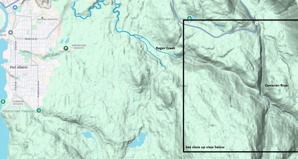

A geologic fault line must have ruptured ages ago and either pushed up the land on the west side of the Cameron River, or dropped the land on the other side down about 60 meters. The shape of the slopes on each side of the fault are about the same. I believe this would account for the size of the Roger Creek Canyon.
On a final note, I wonder if the fact that the Hupacasath First Nation claims the Cameron River as part of their traditional territory is a result of a story about the event that changed the course of these toe streams.

